Following the 6.6 magnitude earthquake that occurred in the region between Samos Island and Kusadasi Bay on October 30, 2020 in Izmir, the TUBITAK MARMARA Research Ship, which sailed on May 31, 2021 within the scope of the "Project for Determining the Seismicity and Active Tectonic Properties of Faults in Kusadasi Bay with High Resolution Seafloor Measurements" of the Turkey Earthquake Platform established under the coordination of TÜBİTAK to reveal the earthquake hazard in this region and to examine the fault lines, completed its first voyage on Sunday, June 13, 2021 and returned to Izmir Alsancak Port.
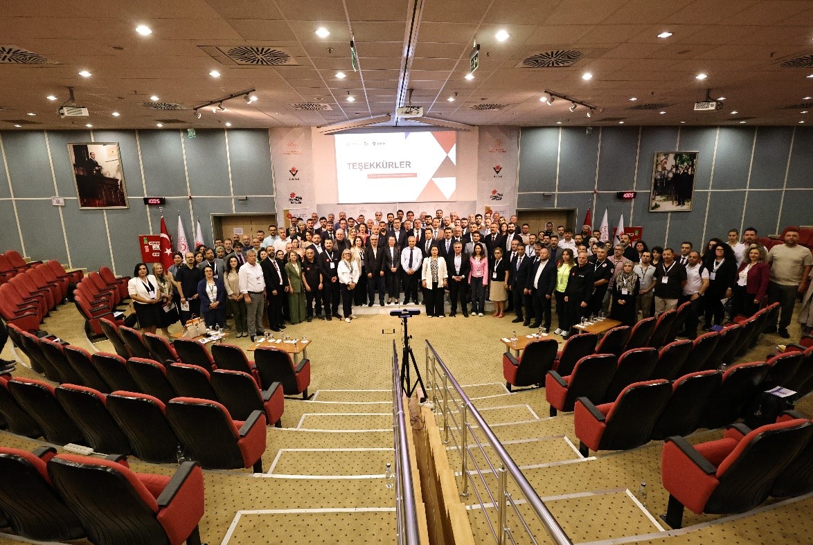
TÜBİTAK MARMARA Research Ship's crew and scientific team were welcomed by Prof. Dr. Hasan Mandal, President of TÜBİTAK. Prof. Dr. Hasan Mandal gave information about the expedition together with Prof. Dr. Gülsen Uçarkuş from ITU Eastern Mediterranean Oceanography and Limnology UY-GAR Center, Prof. Dr. Derman Dondurur from Dokuz Eylül Institute of Marine Sciences and Technology and Assoc. Prof. Dr. Denizhan Vardar from Istanbul University Institute of Marine Sciences and Management, and stated that we have information about the fault lines on land, but the faults in the sea area between Samos Island and Kuşadası Bay should be examined. Prof. Dr. Mandal reminded that an Earthquake Platform was established under the coordination of TÜBİTAK by bringing together all relevant stakeholders of the process, including AFAD, Naval Forces Command Navigation, Hydrography and Oceanography Department, together with TÜBİTAK MAM, Istanbul Technical University, Dokuz Eylül University, Istanbul University, Middle East Technical University, and Middle East Technical University, and stated that with the project carried out within the scope of this platform, studies were carried out on the TÜBİTAK MARMARA Ship for two weeks to determine the seismicity of the faults in the region and the active tectonic characteristics of the region. Noting that bathymetric analyses were carried out during the expedition, measurements were made with acoustic data and all the preliminary information needed to map the region was obtained, Prof. Dr. Mandal said that this information was very valuable and that it was the first time such information had been obtained.
A road map will be drawn the second time
Stating that the information obtained was shared with the rectors and administrators of the relevant universities, Prof. Dr. Mandal continued as follows: "The studies carried out during this expedition were the first studies conducted both in our national territorial waters and in international territorial waters. With the information obtained, we now know this region much more closely. A rapid study will be carried out, and after the mapping work is done, a second expedition will be launched. Core samples will be taken there as well. With the aging method, we will be able to see which earthquake intervals occurred in this region in the past and what kind of a road map it will provide us with for the future. We will share all of these with the public."
1300 km scanned in two weeks
Stating that an area of 1300 km was scanned during the two weeks the ship was underway, Prof. Dr. Mandal said, "This is a very valuable area. The working time was 7/24. The working method was cooperative, that is, each researcher brought what they had in their own laboratories. It was possible to collect such effective data in such a short time. The data that our scientists will obtain will be necessary not only for our country, but also for Greece and the world. Such a working method is an important tool for a much more effective and efficient solution to the earthquake reality of our country."
Earthquakes under the sea are more difficult to respond to
Prof. Dr. Gülsen Uçarkuş from ITU Eastern Mediterranean Oceanography and Limnology UY-GAR Center also pointed out that our country is located in an earthquake zone and that there are active faults in different regions. Reminding that we have experienced earthquakes like the one in Elazığ and the one in Izmit in 1999, Uçarkuş emphasized the difference between earthquakes occurring on land and earthquakes occurring in the sea. "The difference is this: When a fault breaks on land, as geoscientists, we can instantly move to the field, but in earthquakes that occur under the sea, such as the earthquake that occurred in the Gulf of Kuşadası, north of Samos Island, we have only one method to move there. A research vessel and the technological infrastructure it will have. Therefore, earthquake research at sea is a bit more laborious and requires high technology compared to land studies. Within the framework of this platform created by TÜBİTAK, four universities came together, put our expertise in the same pot, and with the acoustic data collection devices that our universities have in their infrastructures - we call these high-tech devices that can collect hydrographic and oceanographic data sets - we now have these infrastructures in Turkey. We designed this project with the help of TÜBİTAK MAM's MARMARA Research Vessel."
We worked for 12 days with dedication
Stating that the fault that caused the earthquake in the north of Samos Island does not pass through our territorial waters and international waters, and therefore that part is being studied by Greek scientists, Uçarkuş explained the aim of their work within the scope of the Turkey Earthquake Platform project as follows: "Since this region is cut by many fault systems, we have made a fiction to study other active fault systems such as Tuzla Fault, Gülbahçe Fault or other active fault systems extending from Küçük Menderes graben to the sea under the sea. What we are trying to do here is to first reveal a map of the seabed, the bottom morphology. We added new data sets this time, using the data previously collected by the Department of Navigation, Hydrography and Oceanography. Most importantly, with a device called Sub Bottom Profiler owned by Istanbul University, we used a system for analyzing and imaging the faults that continue from the land into the gulf, the faults that cut the layers in the sea. We collected 1300 km of acoustic data. This data was collected in a short period of 12 days, as a result of the ship's crew and science team working in 24-hour shifts. It was a selfless work."
Marine earthquake research requires multidisciplinary work
Stating that during the expedition, they expected to see normal faults in the Aegean Stress Regime, which tectonically affects this region, and that they expected to see directional thrust fault systems seen on land, Uçarkuş continued as follows: "As the first findings, we were able to observe how our vertical component faults cut the layers with our acoustic data. This will enable us to make a successful map here, that is, to produce an active fault map. This alone will not be enough because investigating earthquakes in the seas requires multidisciplinary studies, so we are together with professors from different specialties such as geological engineering and geophysical engineering. Our professors from other branches will also participate."
What will happen the second time?
Uçarkuş stated that during the second earthquake expedition of the TÜBİTAK MARMARA Ship, geological sampling will be carried out with cores from the vicinity of active faults to determine the deformations of the earthquakes that occurred in the past in the previously mentioned layers. Stating that special deposits will be detected in the cores and an aging will be made by radiometric methods, Uçarkuş said, "Therefore, we aim to obtain important informative findings about the earthquakes produced by these faults and the seismic cycle. It will create a new data set to determine the seismicity of Izmir and its region. In this sense, we are really excited."
The scientific results obtained are invaluable
Dokuz Eylül University (DEU) Institute of Marine Sciences and Technology Faculty Member Prof. Dr. Derman Dondurur stated that the research continues day and night and that the scientific results obtained are very valuable. Stating that they have seen that the activity of the Tuzla Fault on the seafloor is much more intense, Dondurur said that this shows that the fault is longer than expected. Dondurur noted that there is a basin especially in the southwestern part of the study area, and that they have obtained data that will enable them to make inferences about how this structure extending up to 1200 meters deep was formed. Stating that there is no clear date for the second research expedition yet, Dondurur added that plans are being made for the fall months.