
Installation and operation of seismological and GPS-based networks and providing trainings on product-oriented data evaluation
Capabilities of Earth and Marine Sciences Institute:
- Design, installation and operation of regional/local networks used in Earthquake Activity Monitoring and Earthquake Source studies
- Continuous and campaign-style GPS network design, installation and operation within the scope of Geodetic Deformation Monitoring Studies
- Design, installation and operation of local seismological and GPS-based networks rapidly and effectively within the scope of Aftershock Studies
- Seismological and GPS-based network operation and giving product-oriented trainings
Products:
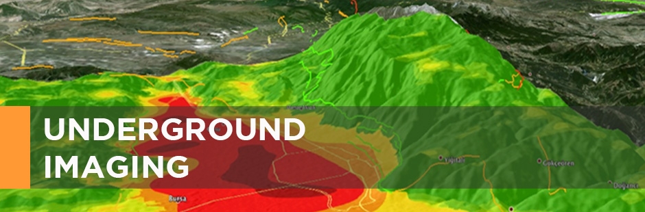
- Earthquake Catalogs/Distribution maps
- Ground-motion mechanism solutions
- Ground Deformation and Velocity Maps
References:
- Establishment of Turkey’s first seismological network (Klikya Network), Marmara Seismology Network (1996-Present)
- Turkey’s first continuous GPS network, Marmara Continuous GPS Network (MAGNET) (1998-Present)
- Aftershock sdudies conducted after the earthquakes in Erzincan (1992), Dinar (1995), Adana (1998), İzmit/Düzce (1999), Afyon (2002), Bingöl (2003), Bala (2007) and Bodrum (2017)