
Seismic hazard assessment to identify geological hazards in development plan making, disaster management and urban transformation applications; determination of potential landslide areas, evaluation of landslide risks and preparation of ground deformation maps using GPS and satellite technologies
Capabilities of Earth and Marine Sciences Institute:
- Seismic Array and Single Station Microtremor measurement and evaluation
- Downhole measurement and monitoring studies (Inclinometer, Spiralmeter, Piezometer and TDR measurements)
- Geological and geomorphological evaluations
- Monitoring and evaluation with GPS method
- Evaluation of seismic reflection data
- Meteorological monitoring and data evaluation
- Applications of Electrical Resistivity Methods
Products:
- Ground Vs30 and Vibration Frequency Maps
- Bedrock Depth Maps
- Seismic Hazard Maps (PGA, PGV, SA)
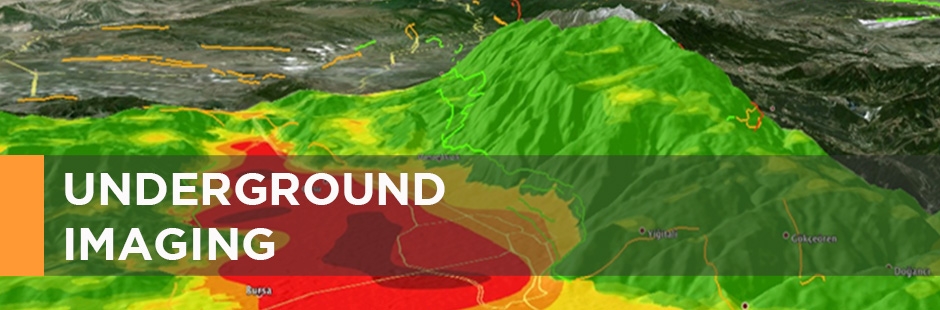
- Landslide Hazard Maps
References:
- Soil Classification and Seismic Hazard Maps have been prepared for Kocaeli and Bursa Metropolitan Municipalities. The studies for Bursa Metropolitan Municipality are still in progress.
- Landslide Hazard Maps have been prepared for Çatalca-Yeniköy, Beylikdüzü-Büyükçekmece areas.