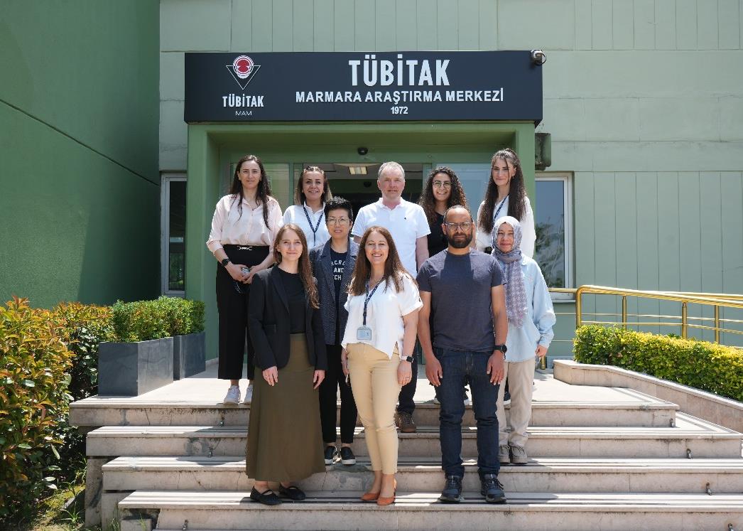
(TÜBİTAK MAM), Istanbul Technical University initiated the project "Determination of Seismicity and Active Tectonic Properties of Faults in Kuşadası Bay by High Resolution Seafloor Measurements".
The aim of the project is to investigate the characteristics and active tectonic properties of the faults extending landward into Kusadasi Bay, to collect high-resolution bathymetric and geophysical data, and to determine the geological traces of past earthquakes on the seafloor with core samples. In the 1st marine research expedition to be carried out within the scope of the project, 10 researchers from TÜBİTAK MAM Environment and Cleaner Production Institute (ÇTÜE), DEU, İÜ, İTÜ, AFAD and SHOD, and 12 ship crew members from TÜBİTAK MAM ÇTÜE are taking part.
TUBITAK MARMARA Research Vessel, which has an infrastructure of advanced devices and equipment, has the ability to stabilize itself at a specified point on the sea thanks to the "Dynamic Positioning System". By using this feature, coring can be performed at desired points on the seabed and sediment samples can be taken up to certain depths of the seabed. Designed as an oceanographic vessel, TÜBİTAK MARMARA Research Vessel, which is involved in projects supported by many public institutions and organizations, including the Ministry of Environment and Urbanization, Kocaeli Metropolitan, Istanbul Metropolitan, Bursa Metropolitan and Izmir Metropolitan Municipalities, started geophysical and geological studies with the "Gürpınar1 Well Pre-Drilling Marine Measurements (Site Survey)" study carried out by TPAO Turkish Petroleum Corporation, Oceanographic measurements (temperature/salinity, conductivity, conductivity, meteorological measurements, current measurements, sampling of the seawater column and surface) and geophysical measurements (seafloor mapping, seafloor acoustic imaging, seabed cross-section imager, seafloor core barrel acquisition). In addition to these, an unmanned underwater vehicle (ROV) designed and developed by TÜBİTAK researchers has made it possible to access up to 1000 meters depth from the sea surface, imaging the seabed, taking samples and accessing submerged objects.
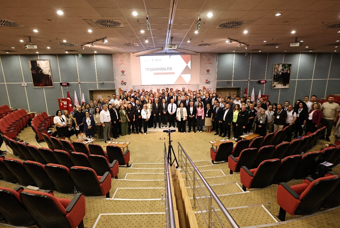
Within TÜBİTAK MAM, regional active faults, earthquake activity, observation of crustal deformations, crustal structure research studies have been carried out with our universities, AFAD, Kandilli Observatory and foreign partners within the scope of EU projects within the scope of various projects carried out jointly in Marmara, Aegean and Eastern Anatolia regions for many years. With the support of Metropolitan Municipalities in the Marmara Region, Earthquake Hazard Assessment projects were carried out in some of our provinces (Yalova, Kocaeli, Bursa, Balıkesir and Istanbul) in order to reduce earthquake damages. In addition to these, studies are carried out to investigate the seismic activity created by active faults, crustal deformations and historical earthquakes by geological, geophysical, geomorphological and paleoseismological methods. Our center is currently carrying out projects on the reduction of earthquake damages, the detailed definition of fault systems by closely monitoring the aftershocks that occur after major earthquakes, the triggering it may cause on neighboring faults, stress distributions and the determination of the mechanisms of fault systems. The AMS-Accelerator Mass Spectrometer (AMS-Accelerator Mass Spectrometer) infrastructure, which can perform Carbon 14 age determination, which is the most critical information in determining the age of geological formations and archaeological artifacts, has been serving national and international institutions since 2016 within TÜBİTAK MAM.
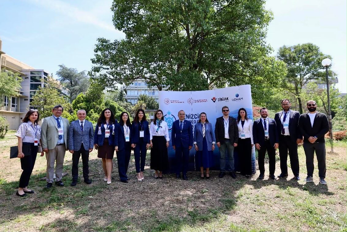
For the geophysical studies to be carried out in the 1st marine expedition of the project "Determination of Seismicity and Active Tectonic Properties of Faults in Kuşadası Bay by High Resolution Seafloor Measurements", DEU, IU and METU have allocated geophysical equipment in their own infrastructures. SHOD Directorate shared the oceanographic data collected in the region with the project working group. This is the first national marine research project to be carried out in the Aegean Sea in both national and international waters with full national support and jointly by the researchers and institutions of our country.
The studies, which are expected to reach much more important scientific results with the processing of the data obtained upon the return of the expedition, will be followed up with daily activity reports and developments will be shared with the public through corporate communication channels.