In the light of the geological and geophysical data to be obtained during the project, the earthquake behavior of the ground will be evaluated in priority areas within the provincial borders; fault zones and deep bedrock structure that may pose a threat throughout the city will be examined; seismic hazard assessment studies will be carried out by generating earthquake scenarios.
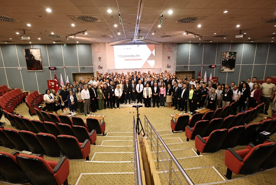
By initiating the BAZEM Project, BBB has taken an important step to fulfill an important responsibility to have seismic hazard map and ground condition bases, which are currently owned by very few municipalities in our country. Within the scope of the project, the following maps and outputs will be produced at the provincial scale by investigating the residential areas and priority areas requiring Detailed Geotechnical Investigation (AJE) in Balıkesir province;
- Installation and operation of Balıkesir Seismic Observation Network
- Ground Dominant Frequency and Magnification Maps
- Vs30 Ground Class and Bedrock Depth Maps
- Active Fault and Seismotectonic Maps of Balıkesir Province
- Seismic Hazard Maps for scenario earthquakes considering fault systems such as Balıkesir, Yenice-Gönen, Manyas, etc. that may threaten Balıkesir at local and regional scales
- Balıkesir Metropolitan Municipality Geographic Information System
The maps and base information to be produced within the scope of the project will ensure that the necessary Engineering, Disaster Planning and Management measures are taken in the most accurate and effective way in order to minimize earthquake damages, and that the suitability assessments for settlement in the future planning of the province are made in the best way.