The TR-GRAV Project was initiated with the support of the Presidency of the Republic of Turkey Strategy and Budget Directorate with the aim of modernizing the country's elevation system, which is unable to meet the needs, with new approaches in the light of scientific and technological developments, and developing the infrastructure that will enable the use of local gravity data to be collected throughout the country in other fields of earth sciences such as geophysics, geology, mining and petroleum exploration.
The project was carried out between 2016-2020 in cooperation with the General Directorate of Mapping (DGMM), General Directorate of Mineral Research and Exploration (MTA), Turkish Petroleum Corporation (TPAO), TÜBİTAK Marmara Research Center (MAM) and TÜBİTAK National Metrology Institute (UME). TÜBİTAK MAM Earth and Marine Sciences Institute (YDBE) completed relative gravity measurements at a total of 3655 points in its area of responsibility (40°N-42°N latitudes).
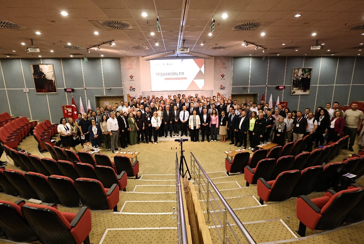
The Strategy and Budget Directorate of the Presidency of the Republic of Turkey and the General Directorate of Mapping of the Ministry of National Defense expressed their gratitude to MTA, TPAO, TÜBİTAK MAM and TÜBİTAK UME for their efforts and understanding of duty in carrying out the project in accordance with the planned schedule.
Information about the Turkey Geoid-2020 (TG-20), which was created with the work carried out by the project partners https://www.harita.gov.tr/haber/yukseklik-sistemi-modernizasyonu-projesi-tamamlanmis-ve-tg-20-jeoit-modeli-yayimlanmistir-/65 can be accessed at